MAPKIT
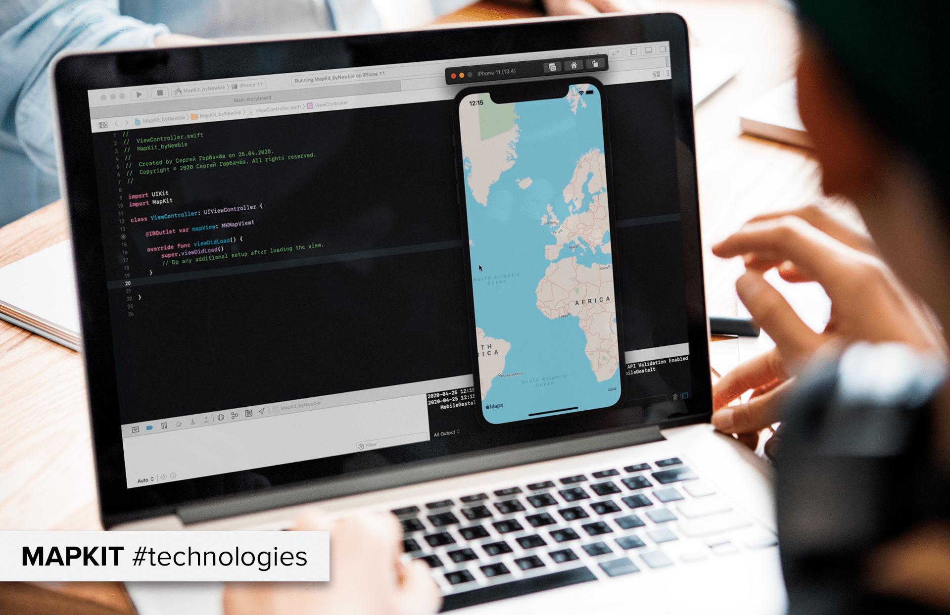
MAPKIT is Apple's mobile development technology that lets you make the most of Apple Maps in your app. Display a map or satellite images in your application, mark addresses and points of interest, build routes, and improve UX.
The MapKit framework is compatible with supported versions of operating systems for iPhone, iPad, laptops and Apple computers (including Mac Catalyst), as well as tvOS and watchOS. With its help, you can create an application that will become part of the ecosystem and provide the user with a great experience.
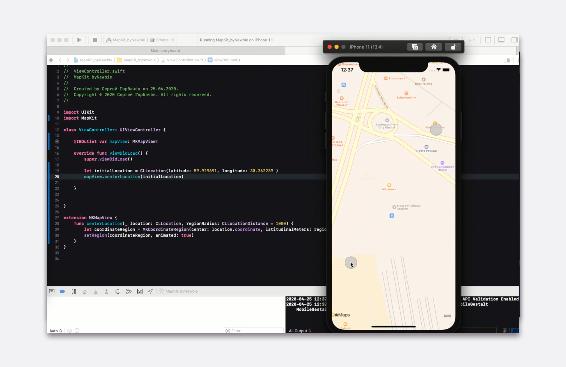
The easiest thing to do with MapKit is to add a map to your application windows and views. It will have exactly the same interface as the usual Apple Maps. It can be just a rectangular image of a geographic region, with the center located at certain coordinates. You can put dots on the map, add a compass, zoom, and change the angle of inclination. You can also teach the map to follow the user, tracking where they are looking.
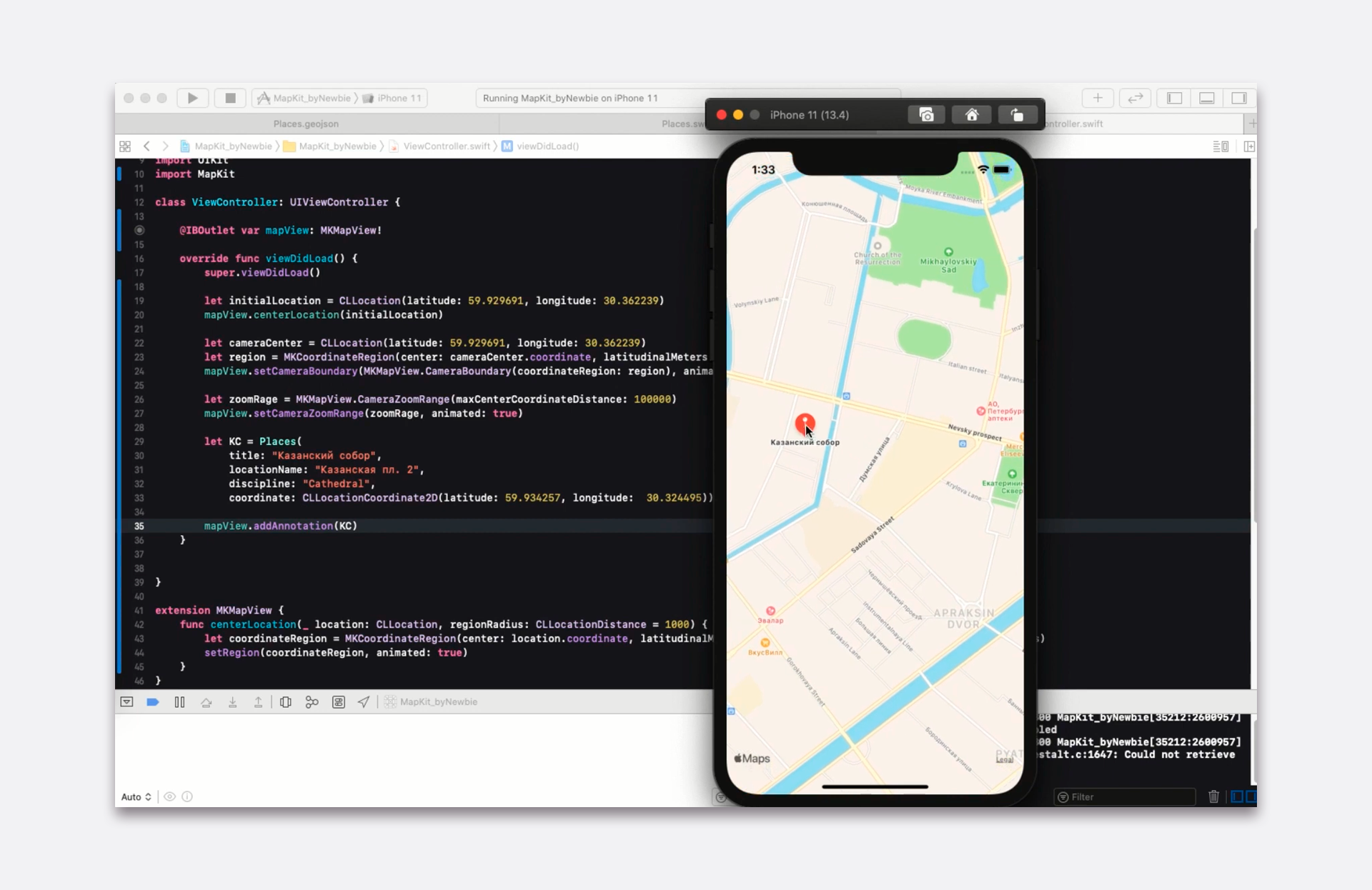
MapKit allows you to create annotations and overlays on maps. You can create a GeoJSON object for anything. In this format, you can store geodata: points, lines, and polygons. These are addresses, streets, and areas, with additional information about each object. Show landmarks, shops, delivery points, public transportation stops, and anything else you want.
Local search with filters will tell you where the nearest place that matches the query is located. The program will immediately change the map display so that the user can see in which direction to move and the approximate distance, and then can conveniently plot a route. Auto-complete forms help users find what they are looking for faster, and the app pulls in all the data. This is convenient, for example, to find a courier service branch for room delivery or an interesting tourist spot by name.
MapKit has all the tools for routing. Your application can build optimal paths between points, including the chosen mode of transport. The framework will help you customize the display of the time it will take to travel along the route and implement additional tasks. For example, if your application shows the interval of public transport, with the integration of maps, your users will be able to easily find the shortest way to the stop. In addition, they will see how soon the next train will arrive and how long the trip will take.
The only reason not to use MapKit is if your app doesn't need map integration. Connecting Apple Maps will be equally beneficial for different e-commerce companies. If your app is a store, help users choose a post office or call a courier to their home. If you provide services, tell them how to get to you.
MapKit is a must-have for anyone who wants to launch an app with navigation features and publish it on the Apple Store. It doesn't matter if it's a taxi service, a fitness tracker for jogging, a guide to tourist destinations, a HoReCa reviewer, or something completely new.


